| Hereford approach | 1550 | The western end of the canal including its former terminus basin at Canal Street has in part been lost beneath industrial development. Plans to create a new canal basin as part old the Cattle Market development (Edgar Street Grid) failed to materialise and access to the original basin site was cut off by the link road past the railway station. However, provision for a re-routed canal channel around the Widemarsh Retail Site has been made, and plans for a new terminal basin next to Widemarsh Brook are being considered. Much work needs to be done to secure a route for a restored canal through to Aylestone Park |
| Aylestone Tunnel | 700 | Largely intact and awaiting full investigation |
| Holmer | 135 | Partially infilled/in water alongside industrial development. Possibility of re-developing industrial area for residential use which will include restoration of the canal channel and towpath to the portal of Aylestone Tunnel |
| Aylestone Park | 230 | Canal channel restored and permanent boat launching slipway constructed by the Canal Trust. A new overflow weir manages water levels with flood water discharged to a tributary of the River Lugg.
Plans for a Community Basin are being considered |
| Aylestone to Kymin | 8400 | Flat section of canal crossing the flood meadows of the River Lugg and Sutton Marsh to Withington and onto Kymin. Line of canal poorly defined between Aylestone and Withington Wharf, with few signs of the Lugg Embankment and Aqueduct remaining.
Canal route far clearer from Withington Wharf to Kymin East |
| Kymin East Project | 895 | Canal channel and towpath largely restored between Westhide Lane and the site of Barrs Lock |
| Yarkhill Project | 1235 | Canal channel and towpath largely restored between the site of Barrs Lock and A4103 at Crews Pitch |
| Monkhide | 1435 | Canal channel and towpath largely restored between A4103 at Crews Pitch and Monksbury Court |
| Canon Frome | 2220 | Line of canal poorly defined between Monksbury Court and A417 at Canon Frome Wharf |
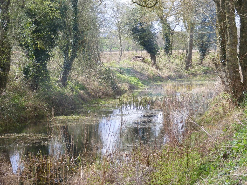
| Canon Frome to Ashperton | 1400 | Line of canal clearly defined and partly in water from A417 to north portal of Ashperton Tunnel. |
| Ashperton Tunnel | 375 | Largely intact and awaiting full investigation |
| Ashperton South | 755 | Line of canal clearly defined and partly in water from south portal of Ashperton Tunnel to Swinmore Farm. |
| Swinmore | 1285 | Line of canal poorly defined and dry between Swinmore Farm and Ledbury Railway Viaduct |
| Staplow | 6175 | Line of canal poorly defined and dry between Swinmore Farm and Ledbury Railway Viaduct |
| Ledbury | 2065 | Line of canal through Ledbury town totally subsumed by railway construction, but now restored as a greenway after railway was abandoned in 1960’s.
A new line for the canal will run north from the A449/A417 roundabout parallel to the A417 before passing underneath the railway viaduct. It will then pass around a new residential development north of the viaduct before re-joining the original route north. This new route should feature five new locks south of the railway |
| Ledbury to Dymock | 6535 | Line of canal lost beneath railway construction and subsequent land alterations |
| Dymock | | Dymock Canal Project saw construction of a “winding pool” as part of a recent residential development. More extensive canal restoration hopes to include this attractive feature as part of a slightly modified route |
| Dymock to Boyce Court | 850 | A short section of the canal here was lost beneath the railway, which swung away west to avoid the high ground to the south. The part of the canal not lost to the railway but little of the short section now remains north of Boyce Court |
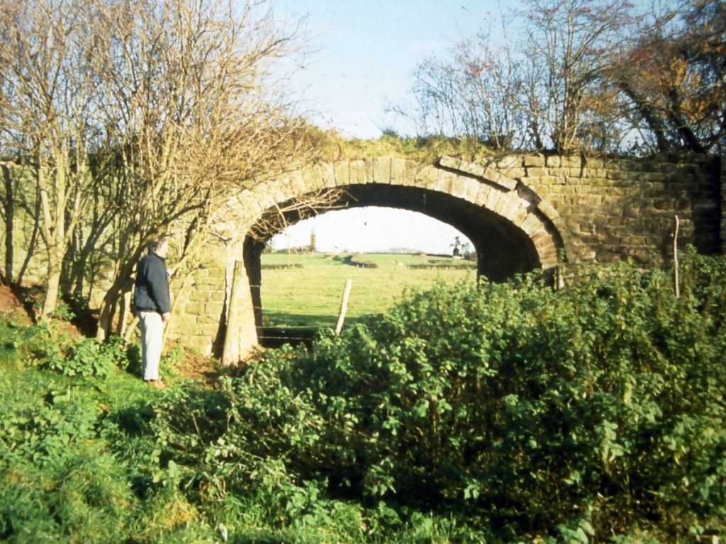
| Boyce Court | 715 | The Boyce Court section of the canal was not ravaged by railway construction and remains intact although neglected in a deep wooded valley leading up to the north portal of Oxenhall Tunnel; |
| Oxenhall tunnel | 2030 | Largely intact and awaiting full investigation.
The M50 motorway and a gas transmission pipeline cross the tunnel |
| Oxenhall Tunnel to Oxenhall | 914 | The Oxenhall project runs south from Oxenhall Tunnel to the west edge of the Newent township. Tis section of canal has seen a great deal of restoration work undertaken and features the only lock structure still largely intact, a restored example of one of the former lock keepers cottages, the former Coal Canal extending 2000m to the sites of mining activity west of the village, and an substantial aqueduct over Ell Brook. Work to restore the two other Oxenhall Locks is in hand |
| Oxenhall Project | 1385 | The Oxenhall project runs south from Oxenhall Tunnel to the west edge of the Newent township. Tis section of canal has seen a great deal of restoration work undertaken and features the only lock structure still largely intact, a restored example of one of the former lock keepers cottages, the former Coal Canal extending to the sites of mining activity west of the village, and an substantial aqueduct over Ell Brook. Work to restore the two other Oxenhall Locks is in hand |
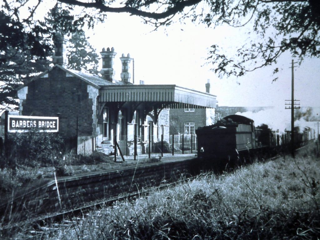
| Newent Station Project | 690 | The Trust now owns the site of the former station and a great deal of work has been undertaken to clear the detritus that has accumulated across the site over the past years. The station platforms remain largely intact and planning work is now in hand to recreate the station buildings to provide a cafe and visitor exhibition space.
Other plans are being worked on to develop the idea of an inclined plane sort of arrangement whereby narrow boats could be lifted from the water, and transported on rails through the former station and across the Ledbury Road before being lowered back in the water beyond the station to continue their journey. |
| Newent to Malswick | 3050 | The line of canal was lost beneath the railway and later the road bypass and will need to be recreated along a parallel route just to the north |
| Malswick West Project | 625 | Land along the route of the canal has been secured by the Trust and a major enabling scheme to construct a number of bridges and culverts has been completed.
In 2023, earthworks needed to create a new canal channel were commenced, and a long section of new canal channel has been formed. 2024 will see this lengthened further as an embankment is formed to carry the canal across low ground.
The Malswick House pub and restaurant is owned by The Trust and is let to a third party management team to provide an income stream for canal restoration |
| Malswick East Project | 430 | Land along the route of the canal has been secured by the Trust and plans are being developed to continue the Malswick West canal restoration work eastwards to include a replacement for Road Lock |
| Malswick to Moat Farm | 1070 | The line of canal was lost beneath the railway |
| Moat Farm Project | 545 | At Moat Farm a curving section of the former canal was bypassed by railway construction and remained largely undisturbed until restoration started in 2012. The canal channel and towpath have been cleared and the canal is now at least in part in water |
| Moat Farm to Over | 8430 | The line of the canal was lost beneath the former railway and is now poorly defined between Moat Farm and Over. No opportunities for restoration work have yet been identified |
| Over and Vineyard Hill Project | 545 | Over was the site of major restoration works which saw the now fully completed canal basin develop over the period from 1998 To the present. The basin was extended by restoration of the section of canal channel westwards past Vineyard Hill.
Over Basin is the site of The Wharf House, a commercial development by the Trust which is now let to a third party management team as The Lock Keepers.
Over Basin will eventually have a direct lock connection to the tidal River Severn, and thence to Gloucester Docks, the River Avon and the rest of the canal network.
|
| Over Link Project | 40 | In late 2023 a new restoration project was launched and will focus on restoring Over Lock, which originally provided the important link between the Canal and the River Severn, and the rest of the canal system. |


